
Rosemount ZIP Code Directory Coverage
Official county mapping and USPS tools support one ordinary geographic ZIP for Rosemount. The single verified row is more useful than a speculative list of nearby codes: it identifies the mailing area while preserving the fact that postal geography is not a municipal survey.
| ZIP | Areas Covered | Post Office | Notes |
|---|---|---|---|
| 55068 | Rosemount mailing addresses and the Rosemount Post Office service area | Rosemount Post Office | Standard geographic mailing ZIP for Rosemount; its boundary is not the municipal boundary. |
The USPS postal lookup and the Dakota County ZIP map both support using 55068 for Rosemount delivery geography. Research found no second ZIP for an incorporated Rosemount address, no PO-box-only Rosemount ZIP, no unique institutional ZIP, and no verified split or realignment. The county map places the code in postal context, while USPS tests a delivery-style query. Neither source reports a ZIP population, voter count, or official boundary-change history, so nearby ZIPs should not be added unless an address-level official result establishes them.
USPS presents address, city/state, and ZIP lookup modes on the screen shown below. Use the result to check a delivery string, then use county mapping to determine location context.
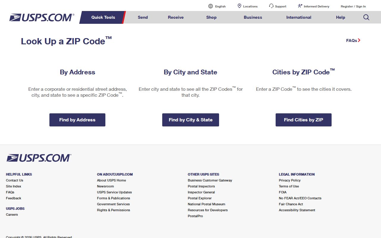
The screen is a delivery-geography tool. USPS also cautions that a result does not confirm that a particular person or company is at an address.
Rosemount 55068 Postal Records
55068 is the verified Rosemount postal code, but a city field and a ZIP field answer different questions. Lakeville notes that some of its residents can have a Rosemount mailing address and 55068. The reverse issue also occurs in public-record work: a county parcel can have a situs address in one place and a tax mailing address somewhere else.
That distinction keeps a ZIP code directory from turning into an address claim. Confirm a parcel on the Dakota map, retain its parcel ID and legal description, and compare the postal result with the mapped location. A tax mailing name identifies correspondence, not each person who occupies a building.
A post office label can also persist longer than a local-government label. For a disputed location, compare the postal delivery string first, then the parcel's incorporated-city location, PID, and legal description. If two parcels appear plausible, compare lot, block, section, township, range, street geometry, and recording dates before treating either one as the match.
Rosemount Postal Lookup Modes
USPS gives three distinct ways to validate a ZIP. The address mode is the right choice when the street location is known. City and state returns a ZIP list for a named place, while cities by ZIP displays recognized or recommended city names for a code. Each mode checks postal formatting, not residency.
| USPS mode | Required fields | What it returns |
|---|---|---|
| By Address | Street Address, City, State | Delivery ZIP; Company, Apt/Suite/Other, and ZIP are optional fields. |
| By City and State | City, State | ZIP list for the requested city and state. |
| Cities by ZIP Code | ZIP Code | Recognized or recommended city names for the ZIP. |
Try the full street address first when two locations share a similar name. A ZIP+4 or recommended city returned by USPS improves the mailing string, but it does not create another municipal postal code or resolve a parcel boundary.
USPS results are most useful before an address-keyed county search. They can normalize directional words, street names, unit information, and the postal city. The property map then asks the separate question of which parcel the normalized address represents.
Rosemount MNVotes ZIP Matching
Minnesota's MNVotes registration lookup has a ZIP mode, but it is a match tool for a known voter. Enter a first name, last name, date of birth, select the ZIP search mode, enter a valid ZIP, and complete the requested registration details. It does not browse everyone connected with 55068.
| Field or control | Required | Rosemount ZIP code use |
|---|---|---|
| First Name and Last Name | Yes | Letters, spaces, hyphens, and apostrophes are accepted under the portal rules. |
| Date of Birth | Yes | Month, day, and year are required for the match. |
| Address mode | Yes | Choose “Switch to ZIP Code search” for the ZIP field. |
| ZIP Code | Conditional | Enter a valid ZIP after choosing ZIP mode. |
| Find your registration | Yes | Returns match or nonmatch information and next steps. |
The lookup is updated nightly, and a new registration application can take up to 14 days to process. A nonmatch can reflect spelling, address formatting, a recent move, protected status, or a processing delay. It is not proof that a person does not live in Rosemount.
The public voter-information list follows a different route. Its request choices are statewide, district, county, city or town, ward, and precinct rather than a self-service ZIP list. Minnesota's controlled list rules and protected-address exclusions remain in place even where a postal code is known.
Finding Rosemount Records by ZIP
Use a ZIP code to validate the starting address, not as a substitute for the county's required parcel detail. Dakota County Property Information has public address and parcel-ID searching. No ZIP-only public search and no owner-name starting search appeared in the reviewed interface.
- Use USPS to confirm the delivery string and ZIP for the address in hand.
- Open Dakota County Property Information with the address or parcel ID, then confirm the mapped parcel.
- Record the situs address, PID, and legal description from the property result before comparing tax details.
- Use MNVotes only for a known registration match with the required name and date of birth details.
Once 55068 has narrowed the area to a specific address, the Rosemount street directory supplies the separate street-by-street parcel workflow. ZIP geography alone cannot list all residences or all people in the postal area.
When the county property result is ambiguous, use a map click or a PID from a tax statement. County guidance says a PID may be entered with or without dashes, and a new parcel can appear as pending. A no-result screen does not prove that land lacks a parcel or that it falls outside the ZIP.
Rosemount Postal Record Labels
Four labels can appear in one Rosemount records search, and none should be silently swapped for another. A situs address is the physical parcel location. A tax mailing address is the correspondence destination. A legal description identifies the land in title and plat records. A USPS delivery address identifies postal naming and ZIP service.
- ZIP and ZIP+4
- A ZIP identifies a delivery area; ZIP+4 adds a more specific delivery segment for the address.
- PO-box ZIP
- A code used for post-office boxes rather than a general geographic delivery area. No Rosemount PO-box-only ZIP was verified.
- Unique ZIP
- A ZIP assigned to one institution or organization. No unique Rosemount ZIP was verified in the reviewed sources.
- Carrier route
- A postal delivery grouping used for mail service, not a municipal boundary or parcel title description.
For title work, a legal description can use section, township, and range, or a subdivision's lot and block. A parcel identifier is also not a street number. Dakota's sample PID format, 34-02000-08-010, is a tax parcel key and should not be decoded into ownership facts.
The parcel result also separates property, tax, and building information. A tax statement may reinforce the PID and property details, while a recorded document uses the legal description and party role. Each record can be valuable, yet none turns a postal field into proof of current occupancy.
Map Rosemount ZIP Boundaries
The county ZIP PDF labels Rosemount and 55068 among Dakota County ZIPs, but it expressly warns that the map is not a legal survey. Use it for geographic orientation, then rely on the county parcel map and recorded legal description when a city line, parcel edge, or title question matters.
Dakota County publishes the 55068 ZIP map used below. It provides context for a mailing code without changing the parcel or city-boundary evidence.
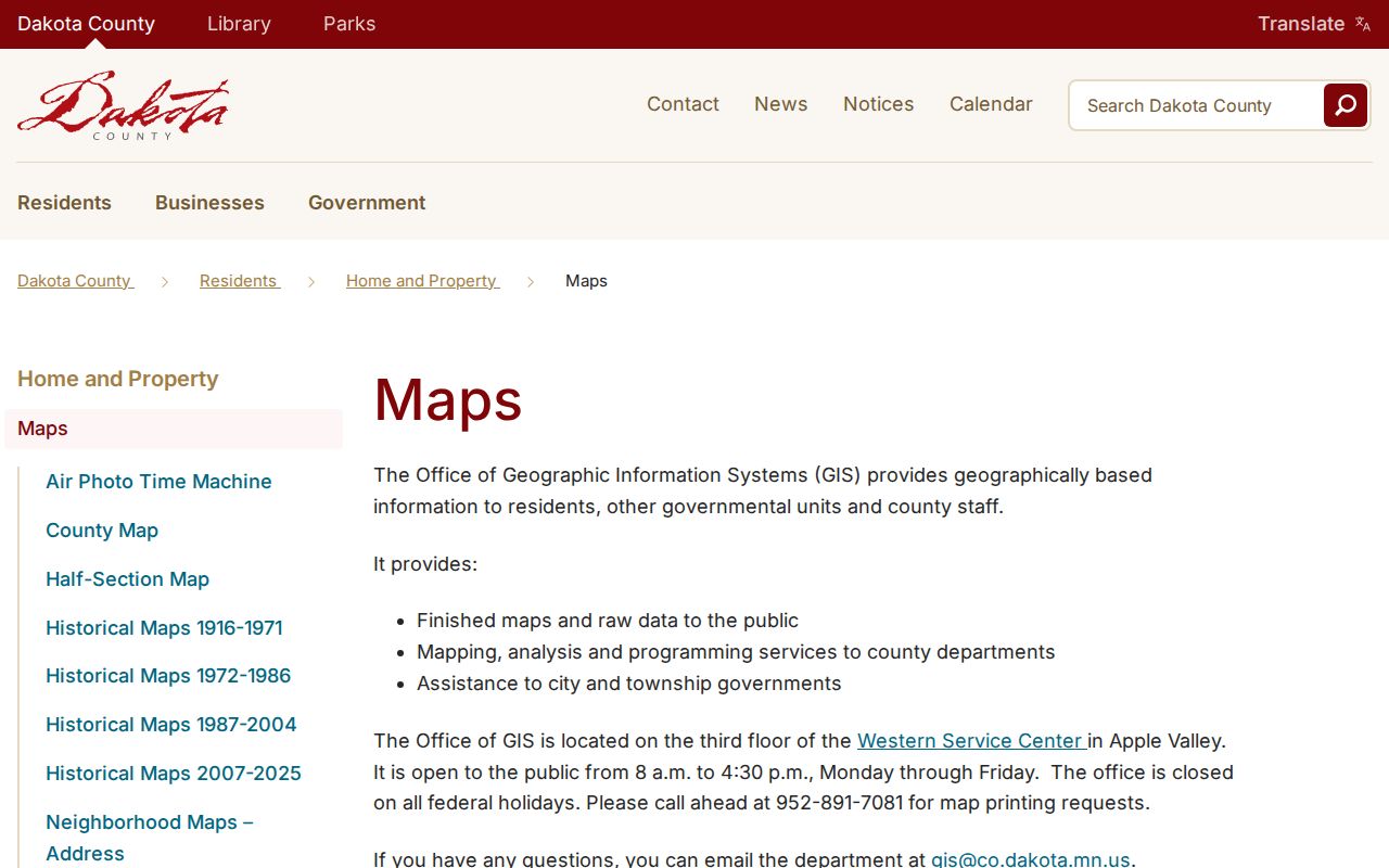
Map lines can help compare delivery geography with nearby places. They do not identify a household, settle a legal boundary, or replace an address-level property result.
Public district, school-zone, code, and permit materials can also be keyed to an address. They are not ZIP-wide resident searches. Utility customer and motor-vehicle addresses are not general public tools for a Rosemount postal-area inquiry.
Rosemount Postal History Labels
Older records may use Rosemount as a post office, a township, a railroad station, or an earlier civic label. A modern ZIP code directory should preserve that wording while searching the address, legal description, plat, and nearby road variants. Exact reverse or criss-cross directory years remain a confirmation question for Lawshe Memorial Museum staff.
The historical change in local government helps explain the label differences. Rosemount's village and township merged in January 1971, then the city became a statutory city in January 1975. Those changes do not prove an address conversion, and no verified citywide renumbering or ZIP realignment was found.
For an earlier address, retain the street name as printed and search the nearby road variants, plat, and legal description. Dakota County Historical Society holdings include city directories, telephone books, newspapers, census material, and plat maps, but the exact Rosemount reverse-directory years are not published online. A missing entry may reflect a coverage gap, a spelling change, or a volume that did not include Rosemount.
Note: Compare an old township or post-office description with a parcel legal description before assigning it to a modern Rosemount street address.